Is a Better Greenway-Rockrimmon Connection Possible?
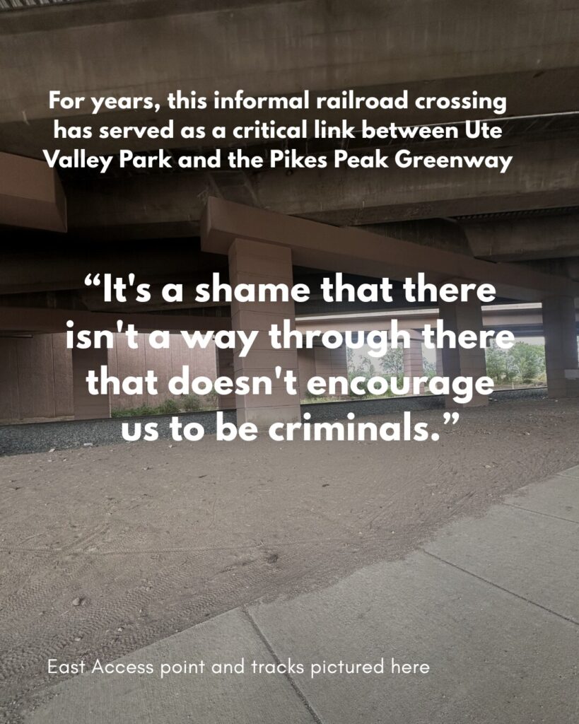
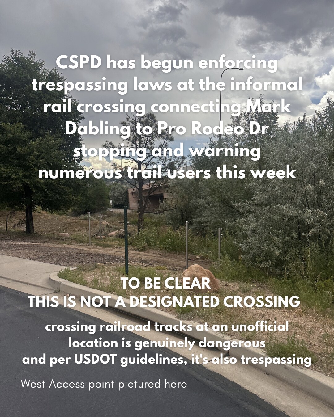
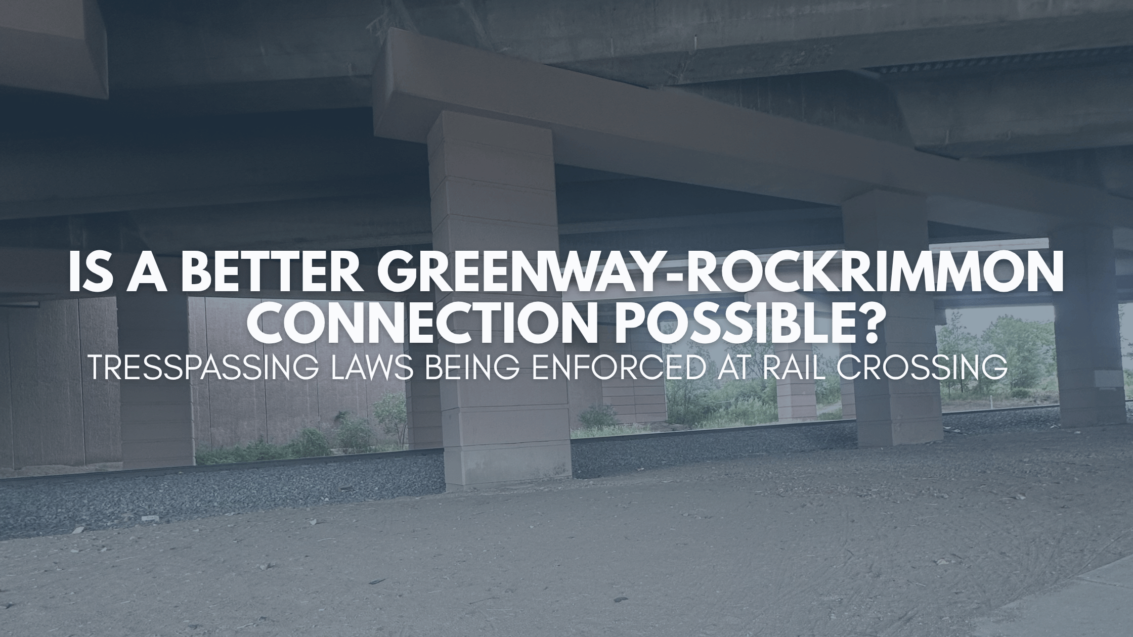
For years, an informal railroad crossing behind the Pro Rodeo Hall of Fame has served as a critical link between Ute Valley Park and the Pikes Peak Greenway. As of July 9th, CSPD has begun enforcing trespassing laws in this area, stopping and warning numerous trail users. We want to be clear: this is not a designated crossing. per USDOT guidelines, using it is trespassing, and crossing railroad tracks at an unofficial location is genuinely dangerous. However, this sudden enforcement underscores a critical lack of safe, legal infrastructure in this part of our city.
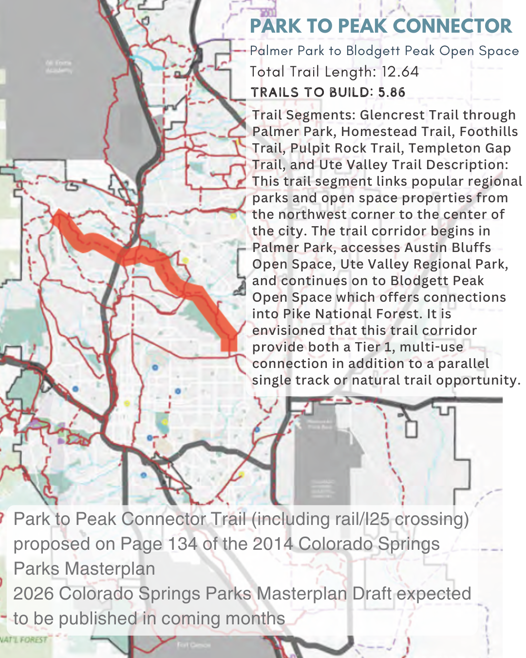
A connection in this area navigating I25 and the railroad tracks was identified as a priority trail project in the City’s 2014 Parks Master Plan as part of the “Park to Peak Connector” (viewable on this interactive 2018 Bike Masterplan Vision Network Map). This proposed tier one trail would connect from Academy to the east, through Palmer Park, and Austin bluffs open space, including the recently completed Ute Valley Regional Trail, and ending at Blodgett Peak Open Space. This is a vision that remains incomplete today, 12 years later as the replacement 2026 Park System Master Plan draft is expected later this year.
We believe there’s an opportunity here to align the enforcement of this crossing with the spirit of the Safe Streets COS initiative and the Safe Systems approach the city has adopted. We have long celebrated these frameworks for prioritizing proactive infrastructure design over reactive measures. As the community learns to navigate this closure, we hope to work with city leadership to explore how we can shift focus from policing to providing a safe, convenient, and permanent alternative for everyone who relies on this corridor.
Current options and routes:
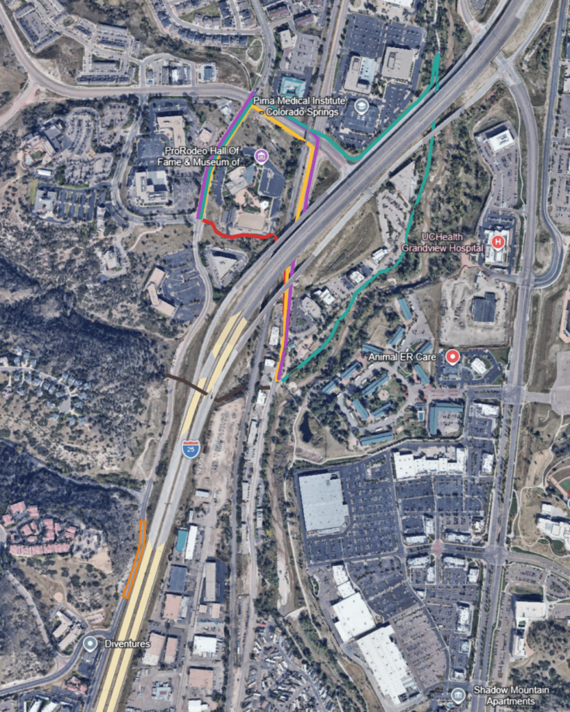
Direct route via the rail crossing (current informal route): ~0.46 miles, crossing only the railroad tracks and a marked crosswalk at Mark Dabling.
Existing trail alternative, via the current trail network around Rockrimmon/Ute Valley: ~1.30 miles, nearly 3 times as far, and it still requires crossing both Rockrimmon and Mark Dabling.
Current route along North Rockrimmon Blvd: ~0.80 miles, cutting the detour shorter but requiring two crossings of Rockrimmon by making use of the Multi use trail on the north side of Rockrimmon Blvd. Shortest viable westbound route.
Route along South Rockrimmon Blvd: ~0.76 miles, cutting the detour by roughly two-thirds compared to the existing trail route, and reducing the number of street crossings a trail user has to make. Only Viable Eastbound as no sidewalk is available for westbound travel.
It’s a shame that there isn’t a way through there that doesn’t encourage us to be criminals.
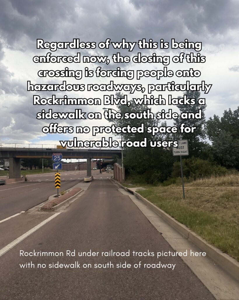
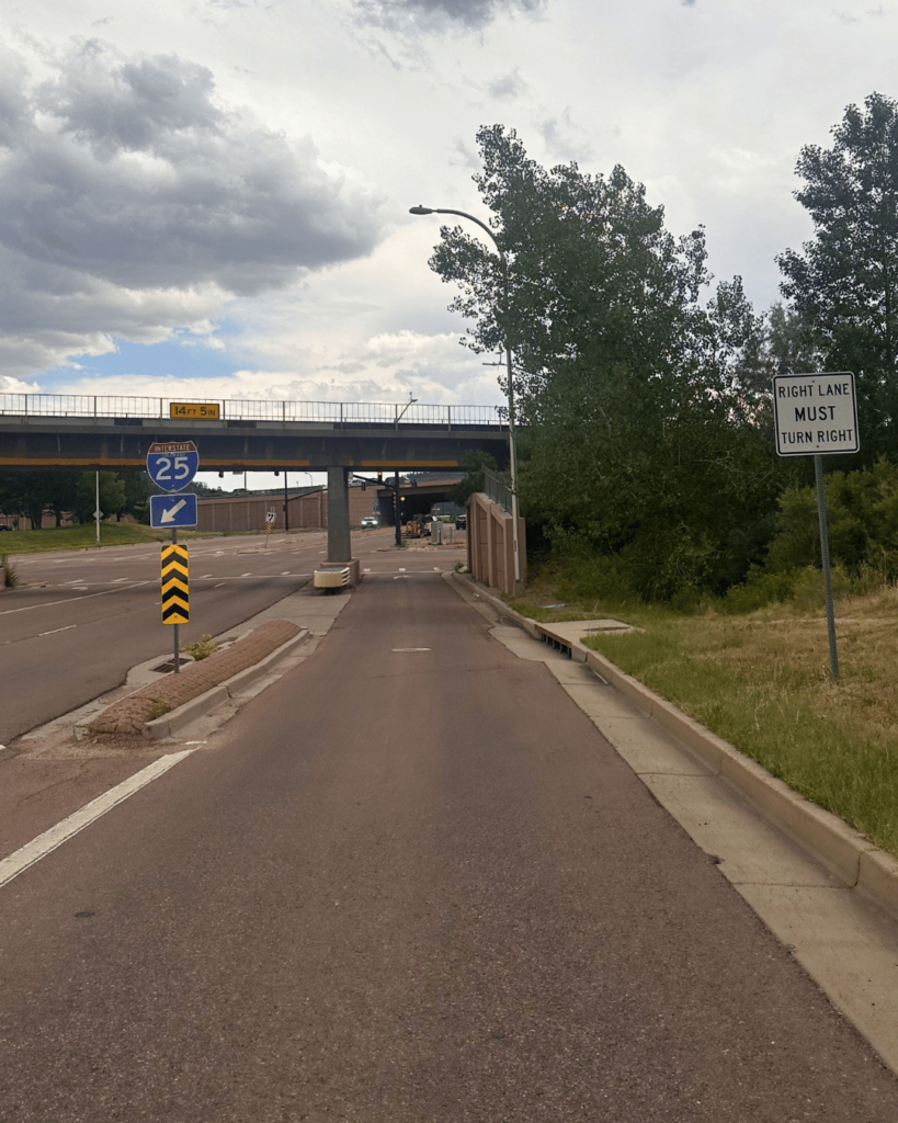
Regardless of why this is being enforced now, the closing of this crossing is forcing people onto hazardous roadways, particularly Rockrimmon Blvd, which lacks a sidewalk on the south side and offers no protected space for vulnerable road users.
Frustration from riders
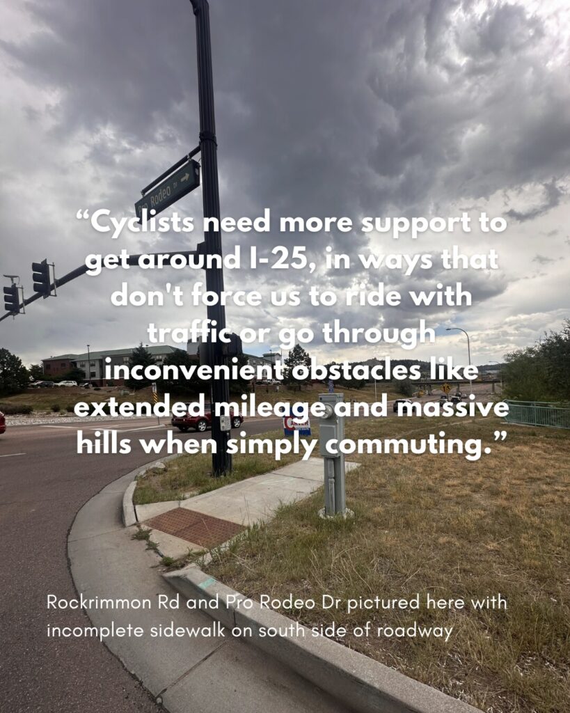
We’ve heard this frustration from the community, one rider said “It’s a shame that there isn’t a way through there that doesn’t encourage us to be criminals.” It’s a sentiment many of us feel. While we want to respect the law, the current infrastructure options don’t reflect the reality of our daily commutes. As another rider noted, “Cyclists need more support to get around I-25, in ways that don’t force us to ride with traffic or go through inconvenient obstacles like extended mileage and massive hills when simply commuting.”
This doesn’t even begin to address other connections in this area; the complete lack of bike infrastructure on Tech Center/Pro Rodeo/Rusina, a 1.28 mile stretch of roadway that has three name changes. (a giant cliff on one side and I-25 on the other). A plan to install a cycletrack here in 2022 never came to fruition, and another project is currently identified as an unfunded “B-Level” project on the voter-approved PPRTA 3 Project list. We are thankful that traffic engineering identified this as one of their most important projects on the “springs and things” bike to work day podcast, and we want to see that priority realized.
What you can do
We need this vital corridor to be treated as the infrastructure priority it is. We urge the Parks Department to work with Traffic Engineering to integrate a formal connection here into the 2026 Park System Master Plan as part of a high-priority “Park to Peak” connector. If the informal crossing must be closed, we’re eager to help the city realize its Safe Streets COS goals by finding a safe, legal, and functional way to keep this connection active for our community.
If you have been impacted by this, please share your experience with us (anonymous survey or via email) or with the Parks Department (Email here) and express your support for including this crossing in the 2026 Master Plan.
Please stay safe and use the safest connections the city has to offer.