Learn how to get around by bike
Colorado Springs is a sprawling and diverse city in many regards. With a footprint of 200 square miles, encompassing 5,688 Lane Miles of roadway, Colorado Springs bicycle facilities run the gamut, from bicycle boulevards to protected bike lanes. Colorado Springs also has 100+ miles of off street trails serving as a backbone to our bicycle network. These maps will help you plan the safest routes around our city and hopefully allow you to safely get more places by bike.
BikeCOS is looking for a volunteer with GIS experience to help improve the information Google Maps is showing. For more information on what you can do to help with our mapping needs visit our Get Involved – Mapping page. To volunteer please fill out our volunteer form or EMail us for more information.
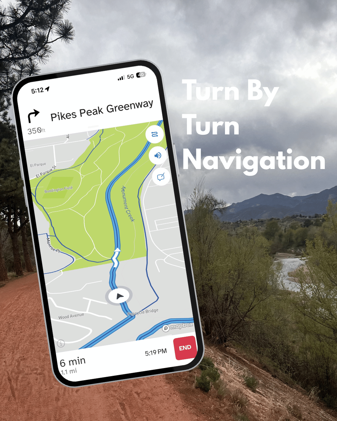
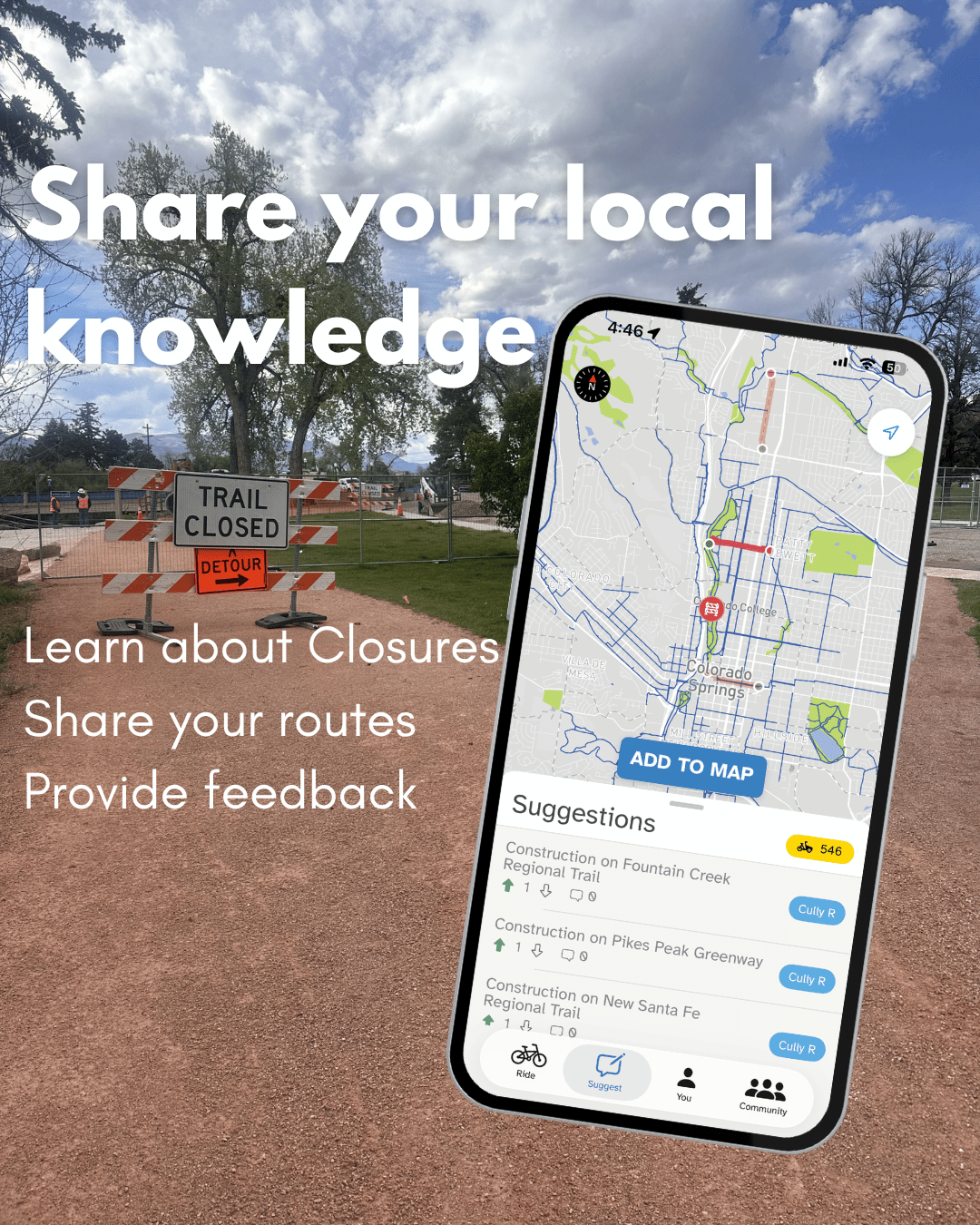
The Bike Streets App is now live in Colorado Springs
Bike Colorado Springs has officially partnered with our friends at Colorado based Bike Streets to try a new, locally informed tool to share our city’s Low-Stress Bike network with riders, unlocking hidden connections and safer routes in COS.
Learn more about Bike Streets in Colorado Springs at our post here

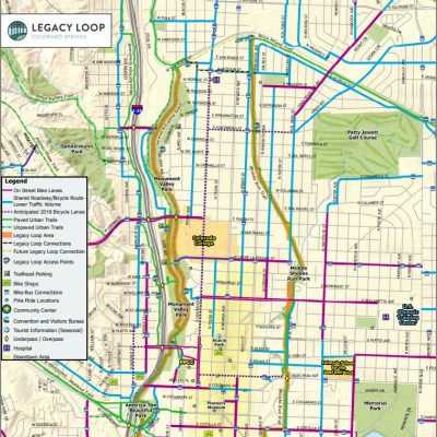
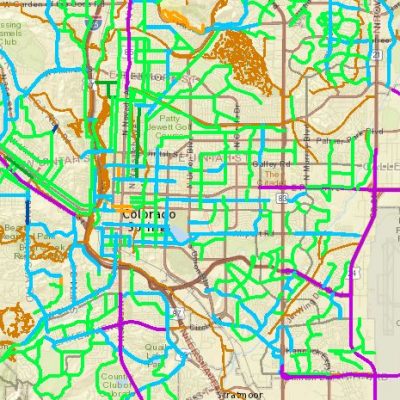
Maps
We have included a wide range of maps below that will help you navigate our city by bicycle.


Looking for a fun and flexible way to explore Colorado Springs by bike? PikeRide – our nonprofit bike share operator – offers curated routes through downtown, Old Colorado City, and Manitou Springs, showcasing hidden gems, local eateries, and vibrant street art. Whether you’re cruising to Garden of the Gods, hopping on a brunch tour, or checking out breweries, their ebikes make it easy to enjoy the ride. Save with a membership (monthly, seasonal, or annual) for daily ride time or opt for a 24-hour pass like the 30 for 30 (unlimited short rides) or the 4-Hour Adventure Pass for longer explorations. Download the PikeRide app to grab a pass and start pedaling! Learn more about their rides here.
City Mapping Resources
The neighborhood maps and the interactive city bike map have been created by the City of Colorado Springs to help people navigate our city by bike. Visit the city’s bike map page for more details
NEWS

Is a Better Greenway-Rockrimmon Connection Possible?
For years, an informal railroad crossing behind the Pro Rodeo Hall of Fame has served as a critical link between Ute Valley Park and the Pikes Peak Greenway. As of…
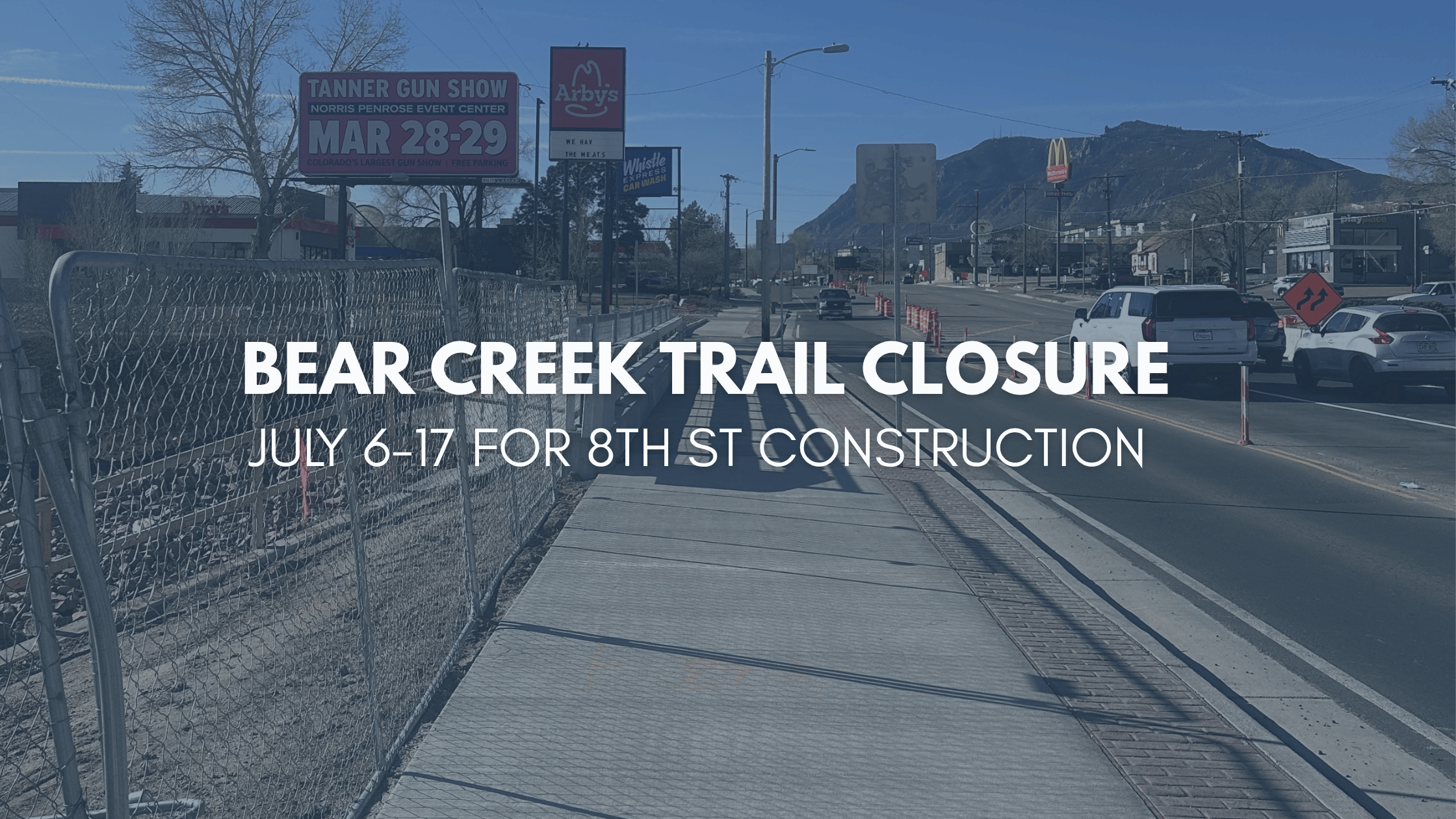
8th St Construction – Bear Creek Trail Closure July 2026
Heads up, the Bear Creek Trail, Connecting the Pikes Peak Greenway to Walmart, 8th Street and Bear Creek Park scheduled for closure from July 6–17, 2026, for construction. As we…
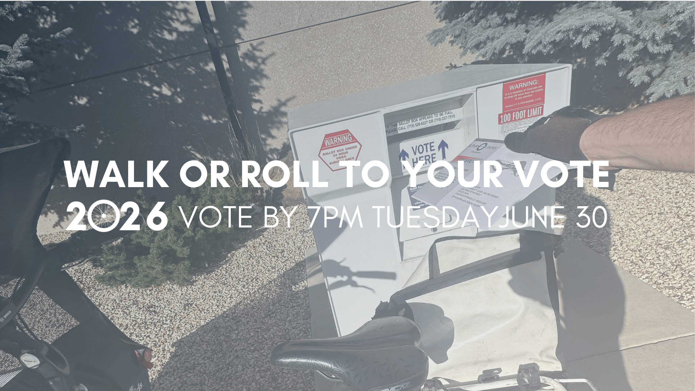
Roll or Walk your ballot for The Primary
Colorado Springs, tomorrow is the first election day of 2026! All ballots must be dropped off, it's too late mail, in an official drop box by 7:00 PM Tuesday, June…