Where can you safely park your bike in Colorado Springs?
One of the great things about the Bike Streets App is, not only does it provide locally curated low stress bike routes, it also has Bike Parking mapped.
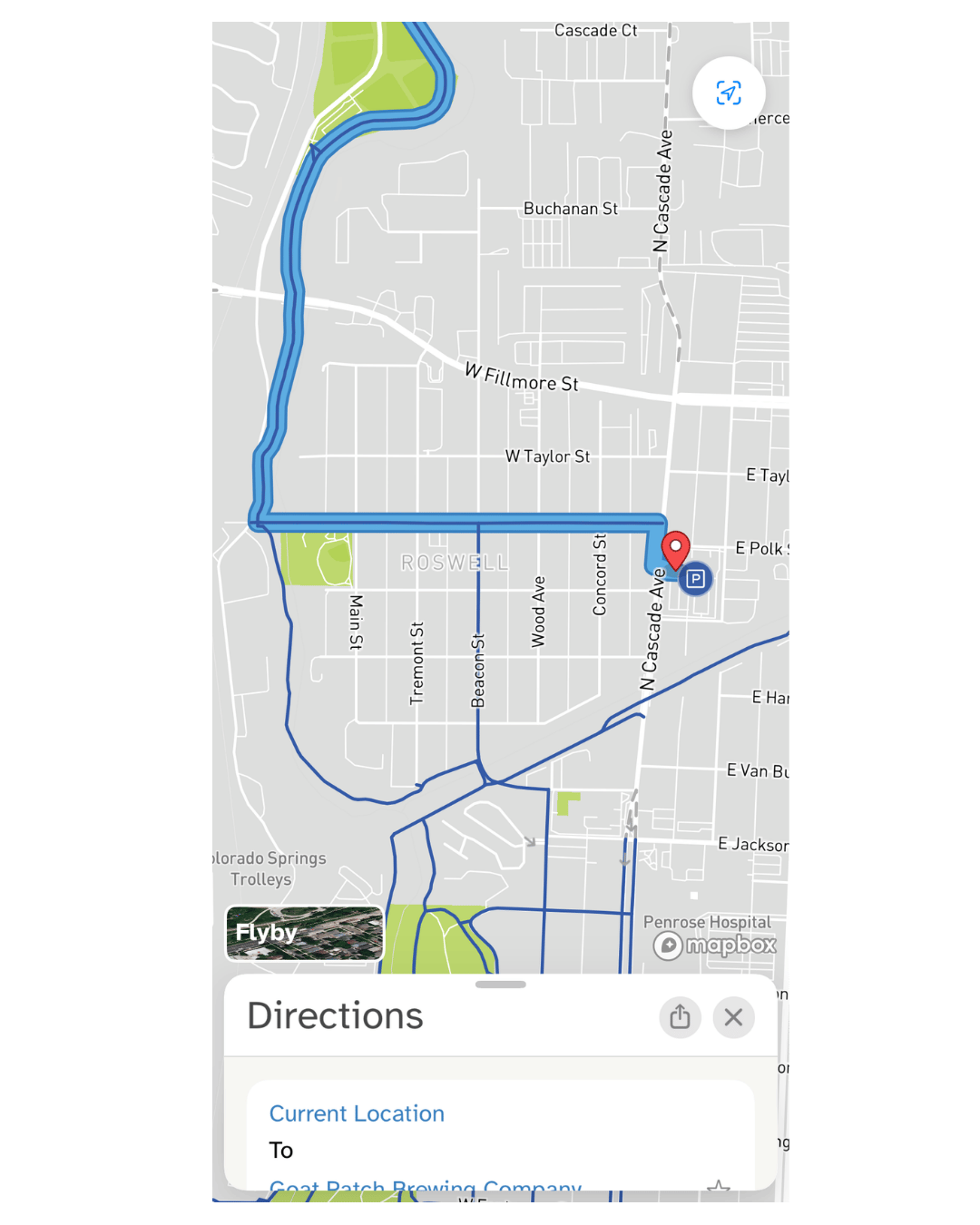
Know of a bike rack not in Bike Streets? Add it your self so others can find it, then on future rides it will directions will take you directly to the closest bike rack, if there is one this is where our push to improve Bike Parking in Colorado Springs comes in.
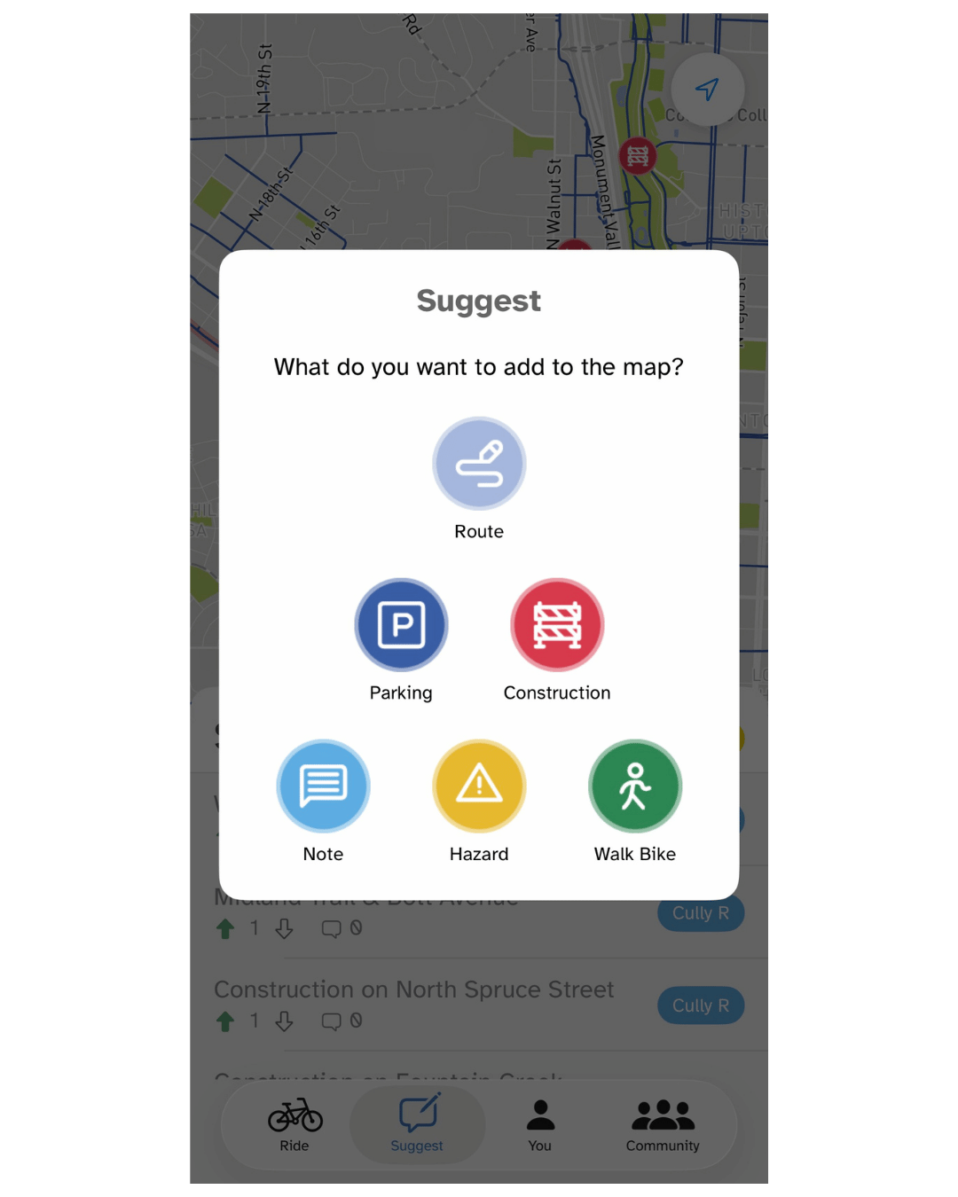
From the suggest page click “Add to Map” to add parking, routes or other details
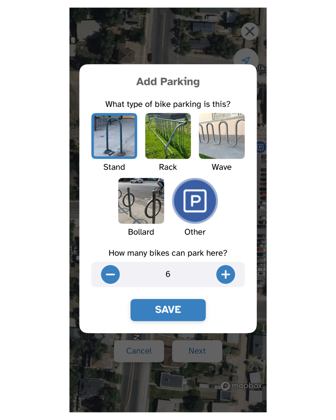
Once a rack location has been selected select the rack type and how many bikes it can fit
on future rides it will directions will take you directly to the closest bike rack (if there is one)
Editable bike parking map bellow
Below is our editable Google map showing Bike Rack locations as pulled from OpenStreetMap, a user editable mapping tool. We will periodically update these locations and add them to OpenStreetMap, or, if you’re so inclined, scroll down and learn how to make the edit yourself.
This is part of our push to improve Bike Parking in Colorado Springs.
Pike ride hubs are shown in purple, city and private bike parking is shown in Orange
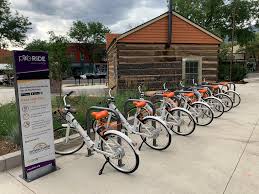
Share a rack with PikeRide
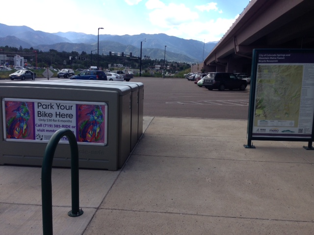
City Owned bike Lockers
Help Keep our city’s information accurate
OpenStreetMap (OSM) is an open source mapping service that anyone can update. The accuracy of the BNA is dependent on the information about roads, bike facilities and key destinations, and People for bikes relies on OpenStreetMap (OSM) for this data.
For more information on Mapping and how you can help visit our mapping page linked below
