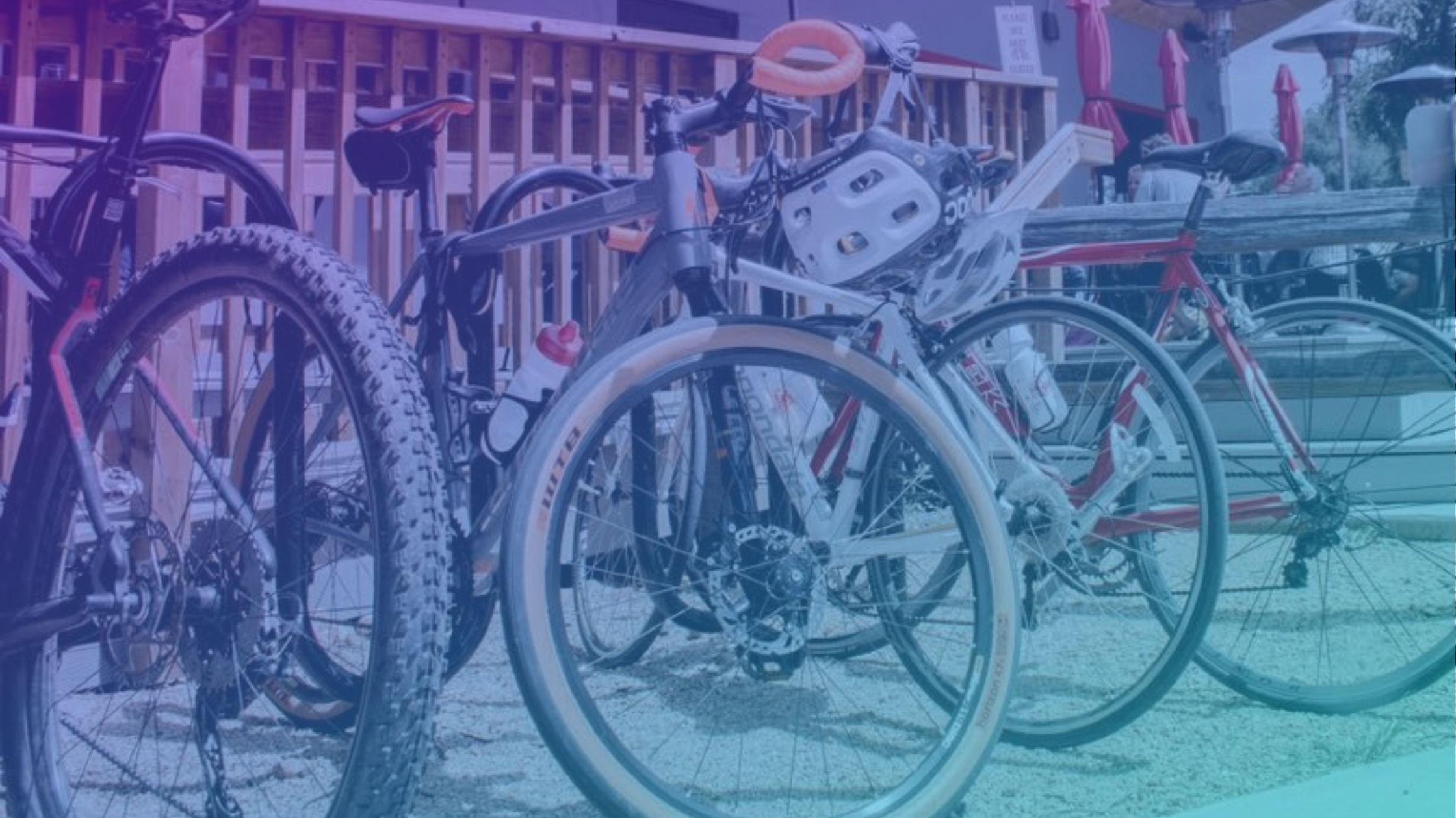
where to park your bike
Post Series: bike parking
- 1.where to park your bike
- 2.Bike Parking Resources
- 3.Bike Parking For Businesses
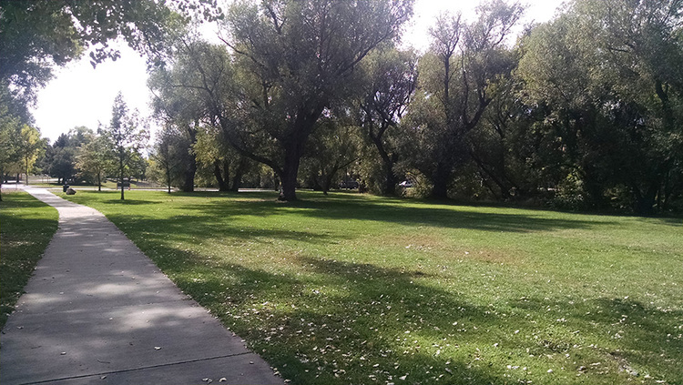
Do you want to know where you can safely park your bike?
So do we!!!
Let’s fire up that crowd sourcing machine and add your favorite bike rack to the editable Google map shown below. This data was pulled from OpenStreetMap, a user editable mapping tool, once these locations are identified we will add them to OpenStreetMap, or, if you’re so incline, scroll down and learn how to make the edit yourself.
This is part of our push to improve Bike Parking in Colorado Springs. Tuned for more posts on that in the near future.
OpenStreetMap (OSM) is an open source mapping service that anyone can update. People for Bikes uses this information to populate their Bicycle Network Analysis (BNA) tool – Click Here to see Colorado Springs Bike Network Analysis. The accuracy of the BNA is dependent on the information about roads, bike facilities and key destinations, and People for bikes relies on OpenStreetMap (OSM) for this data.
The BNA is a key component of our People for Bikes City Rating.
While the City of Colorado Springs does maintain this information in their internal GIS mapping system and makes this information publicly available, they do not update it on external mapping tools such as OSM or Google.

Bike Network Analysis P4B

OpenStreetMap Edit Screen
Help ensure that our city’s mapping information is accurate by:
Contributing to OpenStreetMap.
If you have experience with GIS Experience Volunteering with BikeCOS to Update Google and other Mapping services with accurate information
Here is a link to two sources provided by People For Bikes that will give you guidance on updating and editing OpenStreetMap.
P4B Bike Network Analysis Resources
P4B OpenStreetMap editing Checklist
Feel free to update OSM on your own, or if you’d like to be involved but need help please fill out our Contact Form or E-Mail. BikeCOS will organize a virtual OpenStreetMap learning session latter this summer to update our Mapping information going into 2021.